Christopher Wren moved quickly. On September 11, 1666, with the Great Fire of London barely out, he put a plan for a redesigned City before Charles II. According to a University of Missouri commentary on the surviving plates, the king preferred it. The House of Commons turned it down.
Part of the trouble was ownership, not taste. Before any new road or square could be laid, someone would have had to establish who owned each plot across the ruined City and then buy the land the new layout needed. The buildings had burned. The property lines had not.
That episode holds the central lesson of unrealized city plans. A drawing records an intention, sometimes a grievance, but never an outcome. Read one as you would any historical source. Start by treating any caption added years later as somebody’s opinion rather than a finding.
Ask what unrealized city plans would have erased
Every grand unbuilt scheme carries an unwritten demolition list. Work out what would have had to go, and you learn who held power and who was expected to make room.
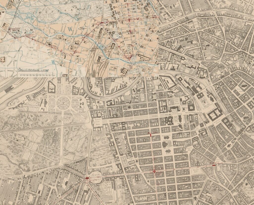
Berlin offers the starkest case. Albert Speer was appointed in 1937 to remake the capital. An archive entry from German History in Documents describes his plan: monumental axes meeting at the Reich Chancellery and a hall meant to hold as many as 180,000 people. Building it would have required tearing down a great deal of the existing city. The war halted the work in spring 1943. What survives, chiefly photographs of the model, records what a regime assumed it could do to the place and the people already there.
Decide whether it is a proposal or an argument
Not every unbuilt plan was a defeat, because not every one was meant to be built. Le Corbusier’s 1925 Plan Voisin imagined a stretch of central Paris replaced by towers. In a MoMA audio guide, curator Barry Bergdoll frames the scheme as polemic and self-promotion. Historian Jean-Louis Cohen credits it with turning its author into a public figure.
So before mourning a lost city, check where the drawing first appeared and who was meant to see it. A plan that circulated through exhibitions and print may have done exactly the job it was designed for.
Check what got built anyway
Partial success is harder to read than outright failure. Daniel Burnham and Edward Bennett’s 1909 Plan of Chicago is often remembered as a triumph. Yet the Encyclopedia of Chicago notes that much of it never left the page. The monumental civic center was never built, and Congress Street never became the grand axis the plan envisioned. Historians still argue over how much the document shaped what followed and how much it simply anticipated changes the city would have made regardless.
The habit worth building here is separating influence from coincidence. A street that matches a plan was not necessarily built because of it.
Follow the money behind the lines
Some city plans were really sales documents. In mid-19th-century Minnesota, after treaties had moved Indigenous land into U.S. hands, speculators carved the territory into townsites. MinnPost cites historian Theodore Blegen’s estimate that platted lots outnumbered people eight to one. It also quotes a Minnesota geographer who regards some of these towns as schemes to sell land to buyers back East. A tidy grid can look like civic ambition while working as a brochure.
What the archive rarely preserves is the view from inside the blocks marked for clearing, or the fields marked for sale. Plans record the people who drew them and the people who paid for them. Those who would have been displaced mostly appear as blank space, and noticing that silence is part of reading the map.